|
|
|
|
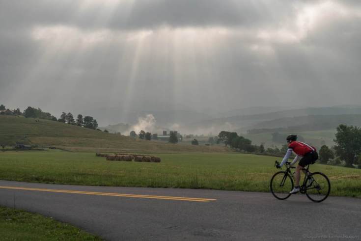
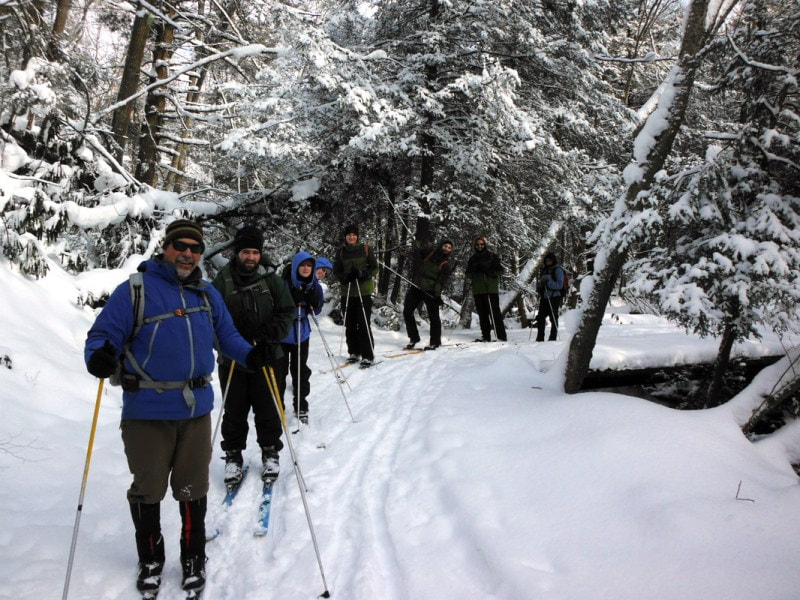
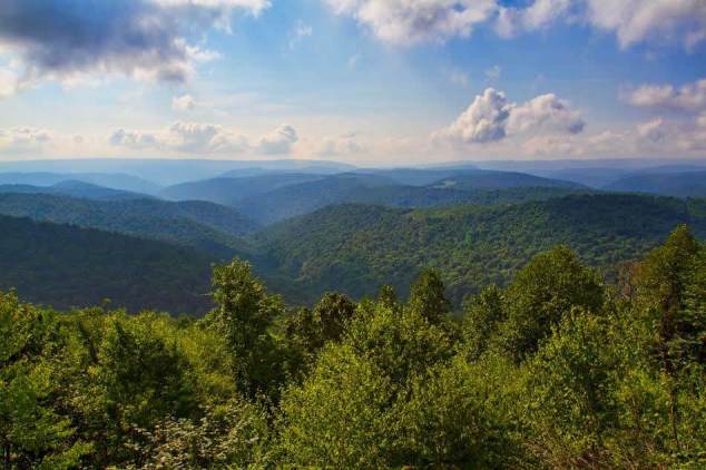
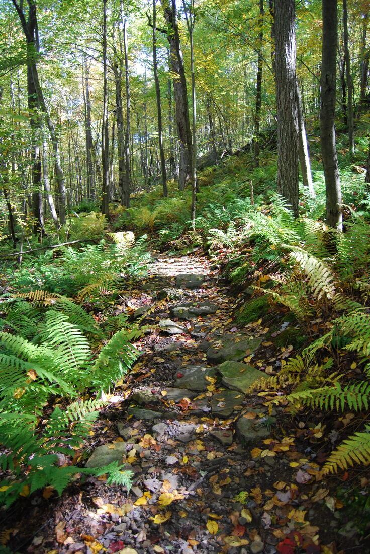
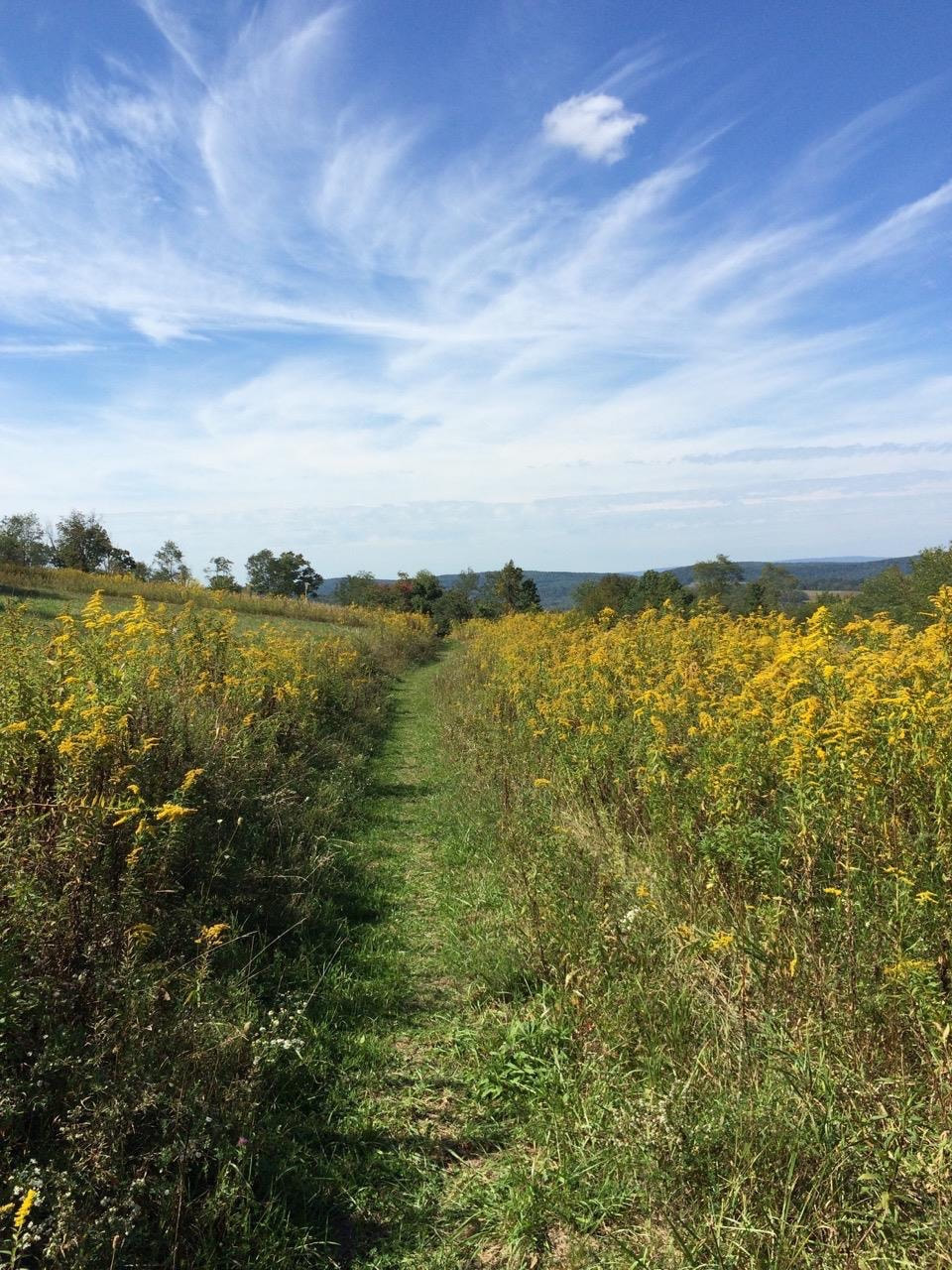
Eastern CONTINENTAL Divide Loop (ECDL) Story MAp
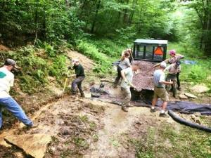
We appreciate your support in building and maintaining trails in Garrett County, MD. No matter the size of your contribution, you have a direct impact on our community by donating.
If you have questions or feedback for us please email director@garretttrails.org.
If you have questions or feedback for us please email director@garretttrails.org.
Garrett Trails also participates in the Amazon Smile Program, with a portion of your Amazon purchase benefiting sustainable trails in Garrett County, MD. This is such an easy way to help your favorite nonprofit grow while shopping! Information about how your charitable giving can be deducted on your taxes is available here, updated information about Maryland State Parks is found here, and Maryland State Forests here.