|
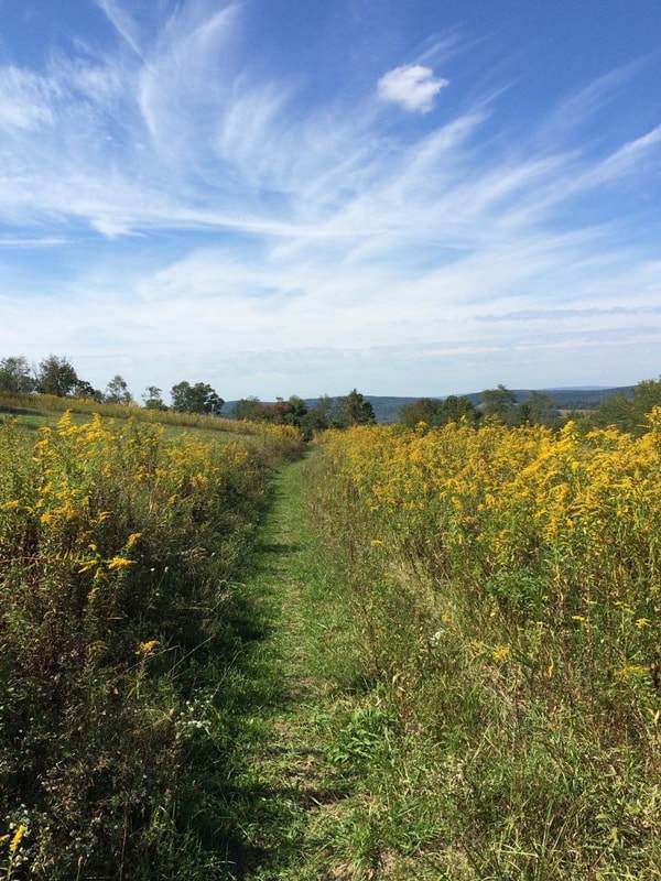
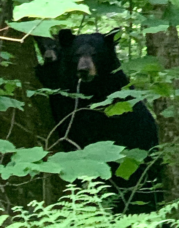
MD DNR Description: "The Margraff Plantation Trail System offers six miles of newly-constructed trails – a 1.4-mile beginner trail, a 1.4-mile intermediate trail, a 1.2-mile advanced trail and a 2-mile intermediate-level adaptive trail. The interconnected trail system gives both riders and hikers the chance to try out varied terrain and progress in skills and challenges, depending on how they feel. Trail users will enjoy traversing through diverse habitats, including pine and deciduous forests, as well as mountain laurel and meadow landscapes. This trail features a 2.9 mile loop suitable for hiking families and beginner to expert mountain bikers." You are definitely in black bear country while at Margraff, please learn how to travel respectfully and safely through the area. The trail crosses, or is near to, the gravel road at several points allowing for an easier way back to the parking lot if needed. There are no bathroom facilities at the trail. No water stops are available for pets, so plan your trip accordingly. Use: Hiking, Mountain Biking, Equestrian (on roads only), Snowmobiling (on roads only) Difficulty: Moderate to Difficult Directions: 15 minutes, 8.1 miles from Visitor Center Drive; Turn left onto RT 219 5.7 miles, turn right onto Accident-Bittinger Rd 0.9 mile, slight left onto Fratz Rd 0.9 mile, park. Please drive slow through the residential area of Fratz Rd. Get directions to trail head with Google Maps |
|


© Garrett Trails. All rights reserved.